When Epic founder Chris and I traveled to Kyrgyzstan in 2019, we approached several local tour operators with one, simple question:
“Take us somewhere beautiful that no one knows about.”
We were promised to visit interesting locations by many, ultimately to be disappointed by the fact that these places were clearly overrun already. Where were we to find our promised land?
But one company made us a pitch that we couldn’t ignore.
“Have you heard of Asian Patagonia, yet?” they said.
“No…” we admitted with bated breath, clearly holding back our excitement very poorly.
After having spent a week in the so-called ‘Asian Patagonia’, I’m here to say that it is legit and it is incredible.
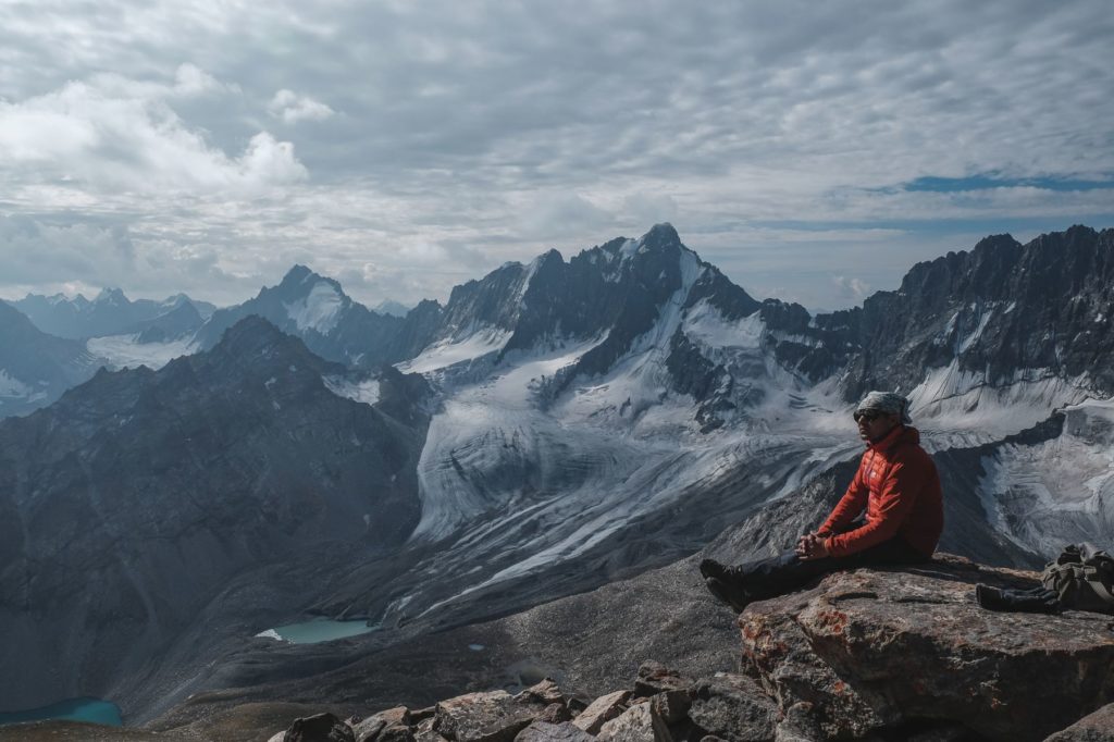
The geography here is some of the most unique and epic that I’ve ever seen. Imagine towers of stone shooting out of the earth to over 4000 meters high with almost 2km of sheer vertical drop in some places. Imagine raging rivers choked with glacial melt and punctuated by the occasional wreckage from previous wars. Imagine a place that, in fact, hardly anyone has ever heard of. That’s Kyrgyzstan’s Patagonia.
This guide is meant to explain how to trek in Asian Patagonia and what a trip here entails. It covers logistics, itineraries, preparations, and more. Visiting this place does take preparation – more so than other treks – but should you make it all the way here, it will all be worthwhile.
Hey! Have you heard where we're going next?
Where is Asian Patagonia?
Asian Patagonia refers to a section of the Turkestan Range located in the far southwestern corner of Kyrgyzstan. This corner, also known as the “claw” of Kyrgyzstan, is a part of the Batken region, an area that has mostly gone unvisited by Western tourists for the better part of a decade.
The Turkestan Range is defined by its uniquely rugged topography and abundance of granite. The Karavshin Valley, also referred to as the Kara-Suu Valley, is arguably the most notable portion though I use the term “notable” generously. Nothing in this area is really well-known by westerners.
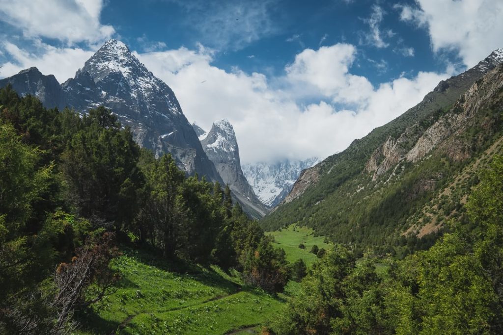
To be honest, I’m not exactly sure when or who started calling this place the ‘Asian Patagonia’. Local designations, like Karavshin, Ak-Suu, Asan, Usan, Orto-Chasma, and so on, have all been around a lot longer. Most likely, the name came about in the last decade or so during which time Kyrgyzstan really started dialing up its tourism efforts. Someone probably said one day “this place reminds me of Patagonia” and the name just stuck. After all, it does bear a striking resemblance to the actual South American region.
Things to Know Before Organizing a Trip to Asian Patagonia
1. This is where Tommy Caldwell was abducted by Tajik rebels
If you’ve ever watched the Netflix documentary The Dawn Wall or read Caldwell’s autobiography The Push, then you know that Kyrgyzstan isn’t exactly a bright spot in the climber’s prolific career.
In 2000, Caldwell and a group of pro climbers traveled to Kyrgyzstan in search of challenging routes. In the midst of an expedition, the group was taken hostage by a group of armed extremist rebels from IMU and held captive for six days. The hostage situation ultimately ended with the Kyrgyz army arriving and Tommy pushing one of the rebels off a cliff who later survived.
That area that Caldwell visited was here in the Turkestan Range. In fact, the group was climbing the Yellow Wall in the Karavshin Valley when the rebels started shooting at them. You can see the Yellow Wall clear as day 30 minute’s walk from the campsite. Not necessarily a happy place but an interesting one for the climbing community nonetheless.
2. It’s only recently opened to foreign visitors
In the past, the Turkestan Range was only really known by Russian climbers. During Soviet times, it was the zenith of many Russian climbers’ careers. Many came here to prove their metal once and for all because this and the rest of the Pamirs were the big leagues.
After the fall of the Soviet Union, this and the surrounding region were the battlegrounds for many border clashes between Kyrgyzstan and Tajikistan. During these skirmishes, the Turkestan Range was largely off-limits.
Only in the last few years has Asian Patagonia really become accessible to Western audiences. Thanks to adventurous climbers, like Tommy Caldwell, and the easing of tensions between Central Asian powers, the area is slowly opening up. It’s nowhere near “discovered” yet though so it’s still a hidden gem.
3. It’s completely off the grid (and untouched)
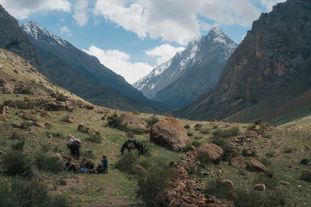
Though the Turkestan Range is not the roughest place I’ve ever hiked in, it is certainly one of the emptiest. Beyond one or two military checkpoints we crossed and the occasional shepherd, we didn’t encounter a soul for almost six days.
Once you’ve left your camp on day 2, you will most likely be completely alone. For some hikers, this is a rare opportunity as most of the world’s most beautiful treks are choked with tourists by now.
With such remoteness comes hazards though of course. If something happens to you or a hiking partner, there will be next to no support. Don’t expect anyone to come and help. This is real wilderness so equip yourself with the appropriate skills and gear.
4. Visiting here requires a lot of preparation and a good outfitter
If the rugged and isolated nature of Asian Patagonia seems like a lot to bite off (it can be), then enlist the help of a guiding company to help you out.
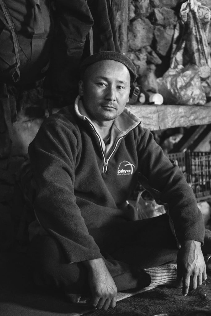
Having an expert who knows the topography, the language, and what is needed supply-wise is a huge weight off your chest. Take it from someone who spent most of his life going on solo missions: seriously, I wouldn’t have been able to do this trek without the help of a few skilled local guides.
Of course, there will always be hikers who insist upon doing things themselves. To them, I say: read this guide thoroughly and make sure you have your shit extra straight before starting this trek. Have a plan, and then have two backup plans in case the first fails. This isn’t the kind of trek you take lightly.
You might want to take a crash course in Russian while you’re at it.
5. It’s a climber’s paradise
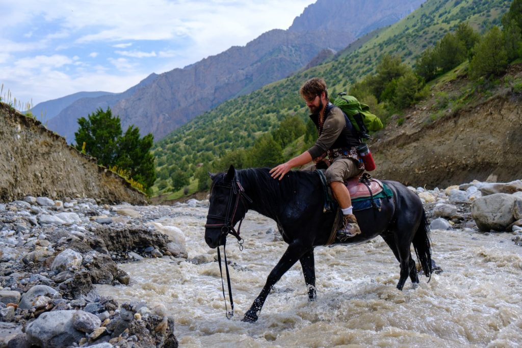
There aren’t many places in the world that feature scenery quite like the Turkestan Range. Soaring granite towers, raging blue rivers, rock walls that dwarf anything in Yosemite; it seems like the stuff of fantasy and not reality.
But Asian Patagonia is the real deal: an epic playground not just for champion climbers but trekkers and adventurers alike.
Like any fantastical location though, reaching Asian Patagonia is not so easy. It will take equal part planning, competence, and grit to finish this adventure. If you manage to complete the trek, you will have not only finished one of the best trekking tours in Kyrgyzstan but the entire world.
Preparing for Your Trek
Guides
Because of its remoteness, it is extremely important to prepare everything beforehand and take everything you need with you. Unless you are ready to put in some serious effort and can speak fluent Russian or Kyrgyz, you should enlist a tour operator to organize the trip for you.
Tour operators will ensure that all the necessary supplies are gathered and logistics are taken care of. This means that you will not need to worry about anything except entering the country and getting to the starting point. They will also have a better lay of the land than any outsider, and you’re going to need that on this trek.
The biggest benefit to using professionals is the language barrier. English is very rare in Kyrgyzstan and getting around even the heavily trafficked areas can be difficult. In the wilds of the Turkestan Range, English is practically non-existent.
Story time! We were on our way to a river crossing when a local shepherd passed. He told us that the usual bridge was washed out and that we would have to cross via horses. If it had not been for our guides who translated for us, we would have been stuck and unaware of any bridge or alternative route.
One could potentially find a local guide once you’ve physically arrived in Osh. But, fair warning, these guys may have little experience (southern operators usually don’t have their shit together). Expect more than a few bumps along the road if you go with an unproven company.
Permits
You need to have a special border zone permit to trek in Asian Patagonia. This is because the area is partly in a restricted zone and is monitored by the military. You will pass by several checkpoints during the trek and they require that you present a physical copy in order to proceed.
Permits are usually arranged through a local tour company either as a part of an organized trip or separately for solo trekkers. If you choose the latter option, it’s best to go through CBT who organizes border zone permits regularly. Reach out to them using this form. Prices vary between 20-30 euros.
Packing List
You have be prepared for anything when hiking in Asian Patagonia. The weather is fickle and the terrain is rough at times. This is a serious hike and so you will need some serious kit.
Luckily, the packing list for this trek is very similar to what we might bring on our other hiking tours in Kyrgyzstan. Refer to the packing list on the page or click here to go immediately to the PDF version.
Those self-organizing will need to bring tents and cooking supplies along as well. Buy your food at the bazaars either in Osh or Batken before heading to Ozgorush. Your best chances of finding cooking fuel will also be in Osh.
If there’s something on this list that you think you don’t need on the trek, you can leave it at the guesthouse in Ozgorush or you can pay for an extra horse to porter it. Fortunately, most if not all of the Asian Patagonia trek is navigable by horse just so long as there is no snow. Horse porters cost $15-20 per day and most likely you’ll need to pay for the owner to come with them as well.
When to Go
Kyrgyzstan’s climate is subject to four distinct seasons. Winters are harsh, spring is wet, summers are warm and dry, while autumns are pleasant, if not brief.
Because of its high altitude, temperatures in the Turkestan Range are also milder. Whilst the lowlands of the Fergana Valley are baking in the summer heat, the mountains are fresh and green. But, for the same reason, the weather in Asian Patagonia is also erratic.
The best and really only time to go trekking in Asian Patagonia is from July to early-September. This is when the weather is most stable and the trails are open. In June, the valleys will be warm but many of the high passes, which will need to be crossed on this itinerary, will still be blocked by snow. By the end of September, it will start to get very cold and the risk of snow returns.
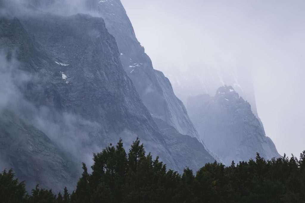
Even in the months of July and August, the climate can still be unpredictable. When we were there at the beginning of July, there were storms every evening and it snowed not once but three times over the course of a week. While crossing one of the passes, we were even caught in a lightning storm and experienced thundersnow (!) for the first time in our lives.
TL;DR when it comes to the weather in Asian Patagonia, hope for the best but prepare for the worst. Visit from July to early September for the best chances of a smooth trip.
Accommodation
Discounting the actual trek, during which you’ll be camping the entire time, there aren’t many places you need to worry about booking.
Ozgorush is the jumping-off point for the trek itself and has a single guesthouse associated with Kyrgyzstan’s CBT (not listed on their official website). It has six double rooms and is run by a lovely family. The men double as guides on the trek. Reach out to Suliaman on Whatsapp at +996 552 717 178 to inquire about availability.
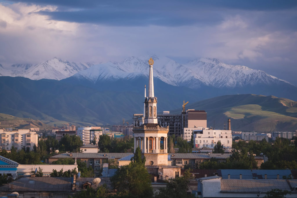
Before the trip starts, you’ll most likely be coming from Osh or the town of Batken. Osh has a couple of good guesthouses and a developing Airbnb scene, it offers just enough for most travelers but options aren’t unlimited. Batken is a lot less built up and, I’ll be honest, I’ve never actually stayed there – just passed through. Osh is just the more convenient base of the two.
Guesthouses in Osh average about $10-$15 per night and usually include breakfast.
Side note: while visiting Osh, be sure to drop by Cafe Brio! It’s really the only place in town where you can get any work done.
How to Reach Asian Patagonia
The closest major city to Asian Patagonia is Osh, the de facto capital of Southern Kyrgyzstan. You will need to arrive here first before moving onto Asian Patagonia.
There are two ways of getting to Osh from Bishkek:
- By bus. This is a 14-16 hour journey via Toktogul, usually by (cramped) shared taxi. I’d only recommend this option if you plan to stop along the way. Suusamyr, Sary Chelek, and Arslanbob are good stopovers. Prices are between 1000-1500 som for the entir trip. You’ll have to barter!
- By plane. Costing $50 and taking only 45 minutes one way, this deal is pretty hard to beat. The views are also fantastic as you pass over the fringes of the Tian Shan. Air Manas, which is owned by Turkey’s Pegasus Airlines, offers several flights per day.
After arriving in Osh, you will then need to travel west toward the Batken.
By car, the journey to Ozgorush takes roughly 6 hours and crosses several Uzbek enclaves. Independent travelers can take a marshrutka (320 som) from Osh’s bus station (located here) to the town of Batken but must then organize a private taxi to Ozgorush. Those who organized their trek with a tour operator will simply need to provide their accommodation address in Osh and should be picked up from there.
Trekking in Asian Patagonia: Day-by-Day Breakdown
The following is a breakdown of the two most common trekking routes in Asian Patagonia: the classic route and an alternative route. Both are challenging.
Immediately below you’ll also find a map outlining both routes. Note that the lines and locations on this map are close approximations – it should NOT be used as a literal trail map. Invest in a proper map or buy Gaia GPS before starting your hike.
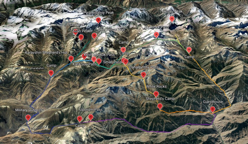
The Standard Route
This is the classic Asian Patagonia itinerary and is used by just about every outfitter you’ll find in Kyrgyzstan. It is a highlight reel of all of the most stunning locations in the Turkestan Range including Ak-Suu Peak, Ak-Tubek Pass, and the Karavshin Valley.
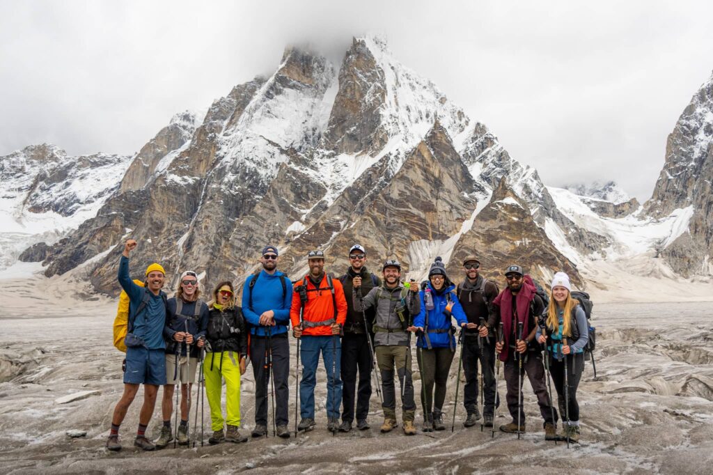
Make no mistake though: this route isn’t for the uninitiated or the faint of heart. Over the course of 8 days, it features no fewer than six passes – several of which must be crossed twice – and almost 8kms of total elevation gain. Be prepared to be wrecked and craving a cold beer by the end of it.
You will, of course, be experiencing some of the last frontiers that Central Asia has to offer, not to mention some of the most unique geography in the world. The title “Asian Patagonia” is 100% merited and most hikers would be lucky to have the opportunity to explore here.
To the lucky bunch who make their way here: let’s talk about what your itinerary in Asian Patagonia will look like.
NOTE: The standard route can be done either clockwise or counter-clockwise. Below, we have listed it out clockwise.
Day 1: Guesthouse to Camp 1 via Buldzhuma Pass
14kms, 1300 meters gain, sleep at 2700m
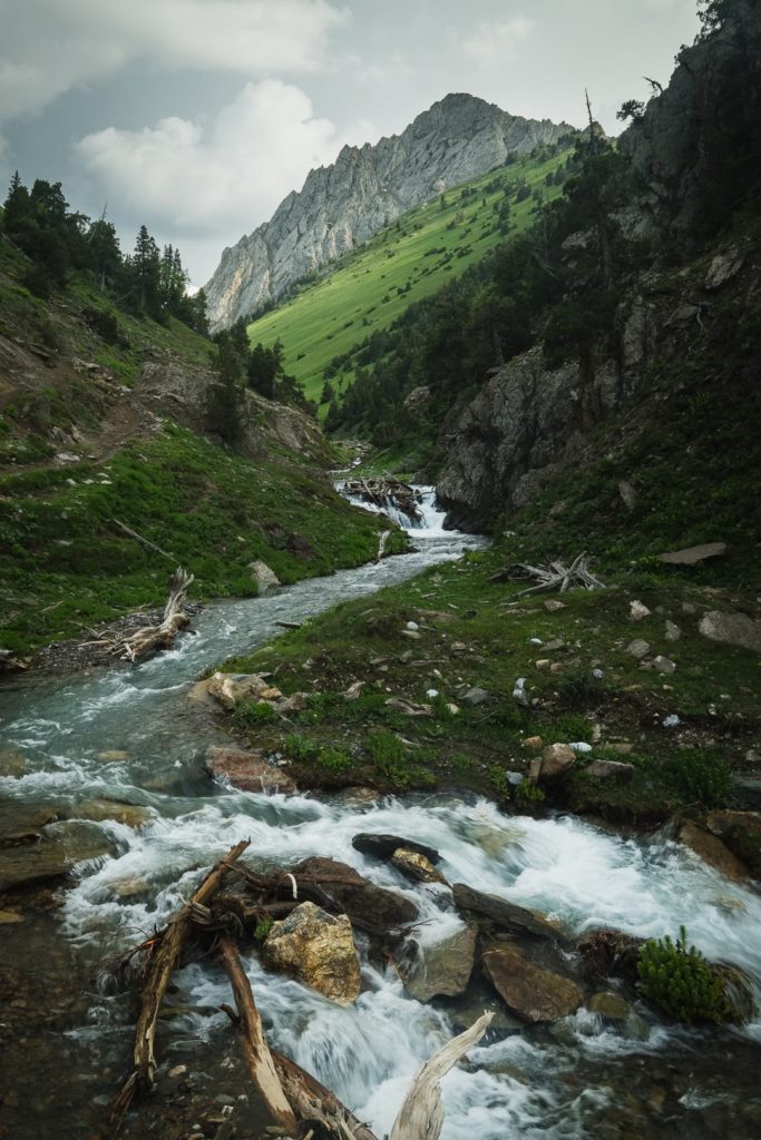
A not so steep but steady walk up to Buldzhuma Pass. The trail is fairly clear and passes mostly through the woods. There are pistachio and walnut trees around and you might be lucky enough to have some nuts during September.
Upon crossing Buldzhuma Pass, which is pretty moderate, the camp should be directly below. It lies in a picturesque valley, at the far end of which you can see Uponym Pass (see alternate route below).
The camp is often inhabited by local shepherds and hunters. On the occasion we were there, the residents at the time happened to be the family of our lead guide. He served us fresh cream (which was incredible) and let us hold an (unloaded) SVD sniper rifle, which he used for hunting. We figured there must be some bigass elk in the mountains to need a gun that big…
Day 2: Buldzhuma Pass to Camp 2 via Dahalgytshy Pass
16kms, 1000 + 600 meters gain, sleep at 3200m
Departing early from camp, you’ll make your way up the Ak-Tash River gorge. After an hour or two, you’ll arrive at a narrow section of the gorge that is defined by a large cache of bleached white stone. The name of the river is partly owed to (I believe) this landmark: Ak-Tash means “white rock” in Kyrgyz.
After the White Rocks, you’ll head up an open valley and veer slightly left. About 600 meters up and on the right is Dahalgytshy Pass.
Dahalgytshy Pass is a treat. At the top, you’ll get a panoramic view of the Turkestan Range. Directly ahead is Turo Pass – on the other side of it is Tajikistan.
Descend Dahalgytshy Pass via a rocky, scree-covered ravine until you reach the bottom of the gorge. Have lunch and prepare to climb another nameless pass (500 meters gain). Once at the top of this pass, descend down to the valley.
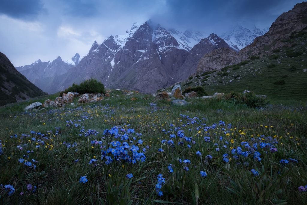
NOTE: Many tour operators opt to descend the entire length of this final valley following the nameless pass until they reach the Orto-Chashma Valley. This is doable and allows for a bit more time the next day, but there is an amazing campsite in the previous valley (after the namelss pass) that is too good to pass up. It affords incredible views of the western arm of Pyramidalniy Peak, has a shepherd’s hut for cooking, and is often covered with wildflowers. I recommend stopping early, staying here for the night, and then walking down to Orto-Chashma (1 hour) the next day.
Day 3: Camp 2 to Karavshin Valley via Kara-Suu and Kosh-Moinok Passes
18kms, 1000 meters gain, sleep at 2800m
Depart from camp, making sure you have crossed the river via a wooden bridge and are heading down (north) the Orto-Chasma Valley. Keep an eye out for the downed HIND helicopter in the ravine next to the river. This surreally out-of-place wreckage is a remnant of a border clash between Tajikistan and Kyrgyzstan in 2000.
You will soon begin the ascent up to Kosh-Moinok Pass on the right. It’s only about 400 meter gain to Kosh-Moinok and it serves more as a preface to the much higher Kara-Suu Pass located almost immediately afterward. Be sure to look back from Kosh-Moinok Pass for a beautiful view of Ak-Tubek Pass and Ak-Sai Peak.
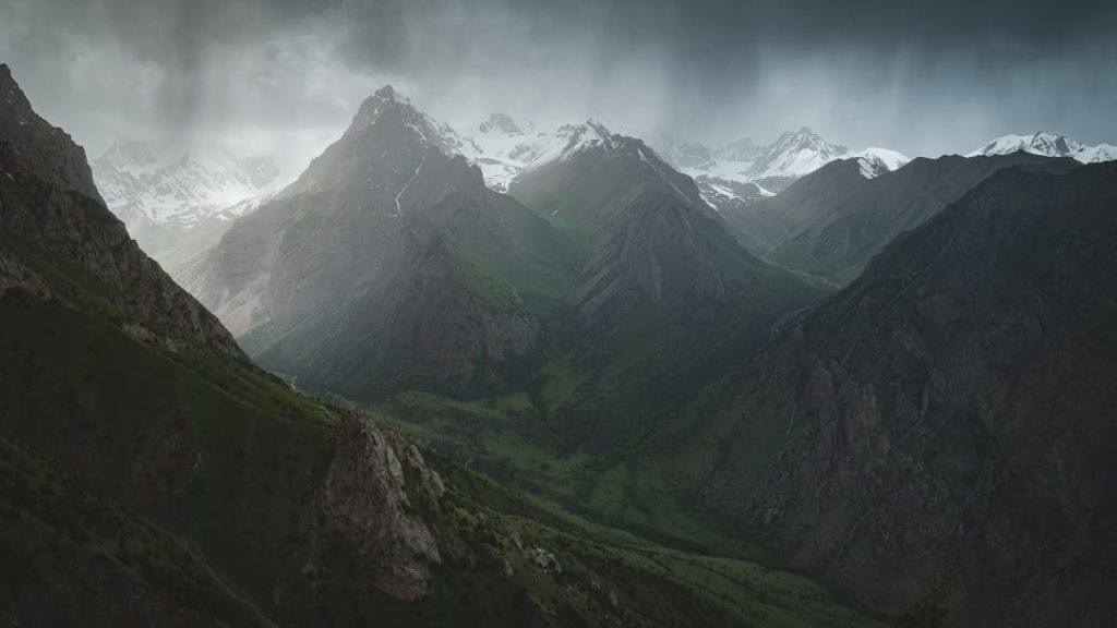
After Kosh-Moinok, climb an additional 600 meters up the glacial valley and slightly left until you reach Kara-Suu Pass. As you crest the ridge, the peaks above the Karavshin Valley – including the “twins” Asan and Usan – will slowly come into view. The pass is a gentle saddle and is fairly wide although snow will still be present in early July.
Descend the pass through a boulder field and eventually juniper woods until you reach the floor of the Karavshin Valley. Your camp is in a wide grassy field anchored by a shepherd’s hut.
Day 4: Asan and Usan Peaks Loop Hike
6-12kms, 300-1000 meters gain and loss, sleep at 2800m
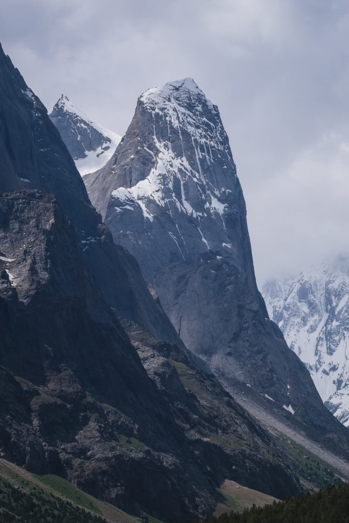
The day hike to the amphitheater below Pyramidalniy Peak is quite spectacular. The first hour or so is on nice, grassy terrain and follows the river up the Karavshin Valley. After an hour or so, you’ll arrive at the mouth of the glacier – this is where the landscape really stuns.
To the right, you’ll see the Yellow Wall, which is where Tommy Caldwell was climbing when he was abducted. To the left is Asan – the smaller of the fraternal peaks – whose 900-meter face rivals Yosemite’s El Cap in both difficulty and grandeur. Together, Asan and the Yellow Wall form a gateway of sorts, welcoming eager climbers.
As you walk further up the glacier, the mountains begin to surround you on all sides. Behind Asan is bigger brother, Usan, Peak 4810, Odyssey, and a couple of their companions. Pyramidalniy Peak bears directly ahead.
Return to camp when ready.
NOTE: You can walk as little or as much as you want to this day. The hike is fairly easy until the glacier at which point you need to mount it. Glacier walking can be tedious but the views are rewarding.
Day 5: Karavshin Valley to Orto-Chasma via Kara-Suu and Kosh-Moinok Passes
16kms, 1000 meters gain, sleep at 2900m
Return the way you came, up Kara-Suu and down Kosh-Moinok, until you arrive in the Orto-Chashma Valley again.
Walk up the valley (south) until you reach the base of Ak-Tubek Pass, which is further south from where you entered Orto-Chasma 2 days before. You will camp here tonight.
Day 6: Orto-Chashma to Ak-Suu Camp via Ak-Tubek Pass
12 kms, 1200 meters gain, sleep at 2800m
At 4300 meters, Ak-Tubek Pass is the highest point on the Asian Patagonia trek. Snow can linger throughout the summer here and, depending on the year, can block the pass even in July (as was our case).
If the trail is clear though, the pass isn’t so bad. There are some steep bits on scree and it’s still a hard day’s hike but not overwhelming. Views from the top of the pass are expectedly incredible as you will be treated to panoramas both ahead and behind. Most notable are the ultra prominent Iskander Bokk and Ak-Suu Peak.
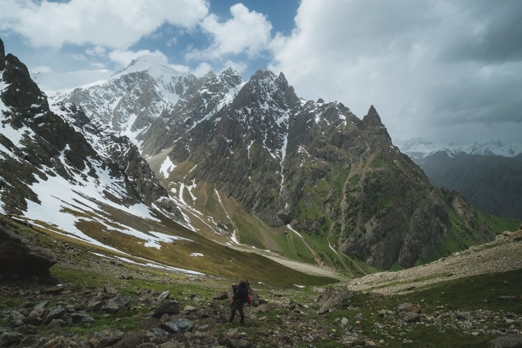
Descend the pass and make for the valley floor. You’ll camp in a greener, more comfortable section of the valley near the river.
Day 7: Ak-Suu Peak loop hike
12 kms, 600 meters gain and loss, sleep at 2800 meters
Day hike to the base of Ak-Suu Peak where you’ll have a better view of the rocky citadel. The hike goes through juniper forest along the moraine until you reach the glacier itself.
The most dominant feature is the nearly 2km-high vertical wall of Ak-Suu Peak. As you might have guessed, this wall is like a magnet for international climbers.
Return to camp when you’ve had your fill.
Day 8: Return to guesthouse from Ak-Suu Camp
19 kms, 1400 meters loss, sleep at 1400m
This is the last day of our trip. A relatively straightforward descent down the Ak-Suu Valley passing through woods along the way, much in the same way the first day went.
Arrive in Ozgorush late afternoon and throw your backpacks off in triumph. You just conquered the wilds of Asian Patagonia! Bust out the vodka and start pouring each other libations.
Spend the night in Ozgorush or depart back to Batken or Osh.
Alternate Route
This route takes a slightly more northerly approach and bypasses several high passes along the way. It follows more arid valleys and tops out at Uponym Pass, which is a reasonable 3200 meters.
The biggest benefit to taking this route is that it offers more direct access to the Karavshin Valley. Rather than crossing the 3-5 passes necessary in either direction on the standard route, the alternative requires only one: Uponym. This means you arrive earlier in the Karavshin, have more time there – since Day 3 is a pretty short one – and don’t have to deal with Kara-Suu Pass twice.
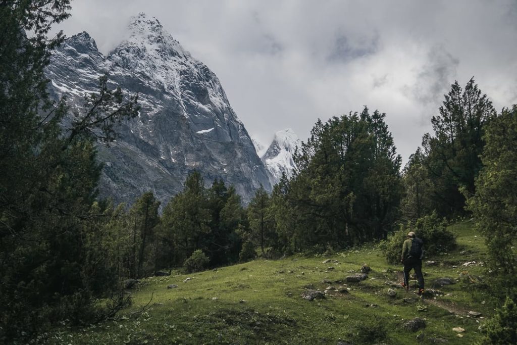
The downside to this route is that the first two days can be brutally long. Neither feature particularly steep terrain nor undulate too much – they’re just long-distance slogs. The landscape, especially on Day 2, can be bleak in places too as the valleys here tend to get really hot and the rivers are usually choked with sediments from glacier runoff.
We ended up taking this route due to the fact that Ak-Tubek Pass was still snowed in when we started. We appreciated the extra time in the Karavshin Valley and were still able to cross Kara-Suu Pass (albeit horseless) before eventually exiting via Dahalgytshy Pass.
Like the standard route, this alternative can also be done in either direction although I’d highly recommend doing it clockwise.
Day 1: Guesthouse to Camp 1 via Uponym Pass
Around 20 kms, 1800m gain, sleep at 3000m
This day requires a very early start – as close to dawn as possible – because it will be a long one.
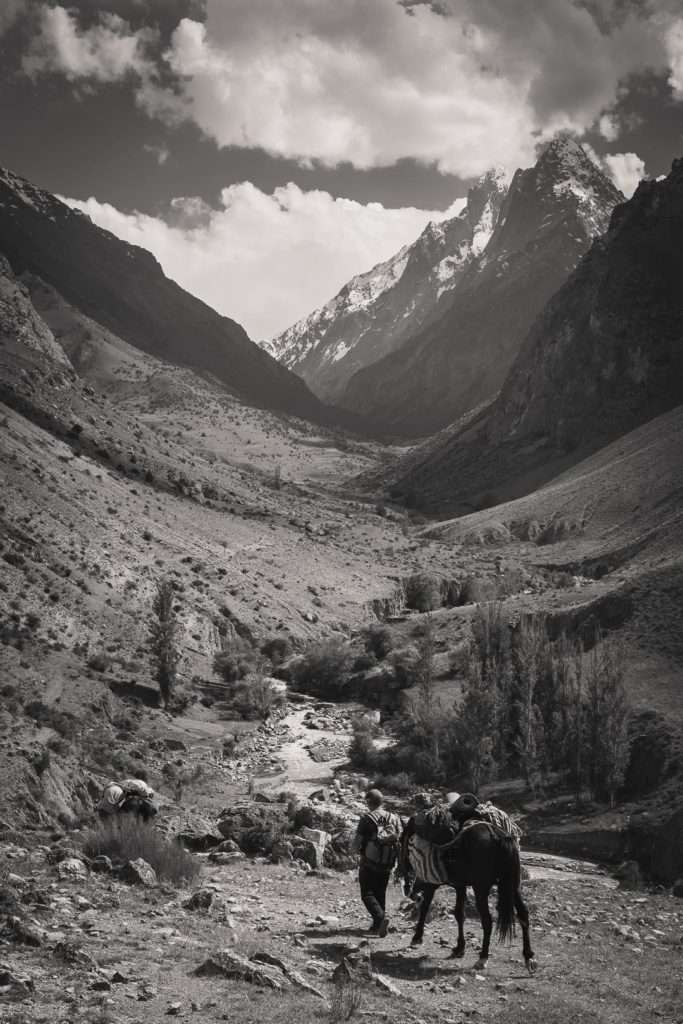
Walk back a little in the village (north) and turn right at the valley running perpendicular to the one you would’ve used on day 1 of the standard route. Walk up this valley for several hours, following the river, while keeping an eye out for the trail, which can be faint at times. Keep ascending slowly until you reach a small, false pass.
Directly ahead, across several saddles that reach out from the ridgeline, is your actual goal: Uponym Pass. Cross the saddles and climb up the scree slope until reaching the gentle Uponym. Directly below is a wide, green meadow often used by shepherds for grazing. Drop down a few hundred meters and make camp.
Day 2: Uponym Pass to Camp 2
Around 18 kms, 700m loss, sleep at 2300m
Descend the valley below Uponym Pass until you reach the arid bottom of another one, a few hours walk. Turn right up the valley but before you do make sure your water bottles are full – it gets really hot and dusty from here on out.
Be prepared to encounter the army. There was a military camp located just up the valley and we were required to present our permits there. The process was fairly official at first, with little chit-chat, but once we were cleared everyone relaxed and we exchanged some pleasantries and cigarettes. NEVER take photos at military checkpoints.
The geography of the valley ahead can be quite bleak at times. Baked canyon walls frame rivers choked by silt whilst rocks and debris tumble down fragile slopes. It’s all quite opposite to what you’d expect from an alpine region.
Further up the valley, the landscape becomes greener. Once you reach the entrance of the Karavshin Valley, you will be surrounded by woods and nice soft grass. Find a nice open area near the river and make camp.
Day 3: Camp 2 to Karavshin Valley
Around 8 kms, 500 meters gain, sleep at 2800m
Across the river should be the Karavshin Valley. It is possible that there is no assured assured way to cross the river by foot, in which case you need to ride a horse across.
Once on the other side of the river, walk around the backside of the hill and you’ll arrive at the mouth of the Karavshin. Walk through a small patch of woods and then quite suddenly you’ll have a perfect view of the valley. This portion of the trek is, for me, arguably the most astounding on the hike as it is the first time you’re really treated to such epic scenery.
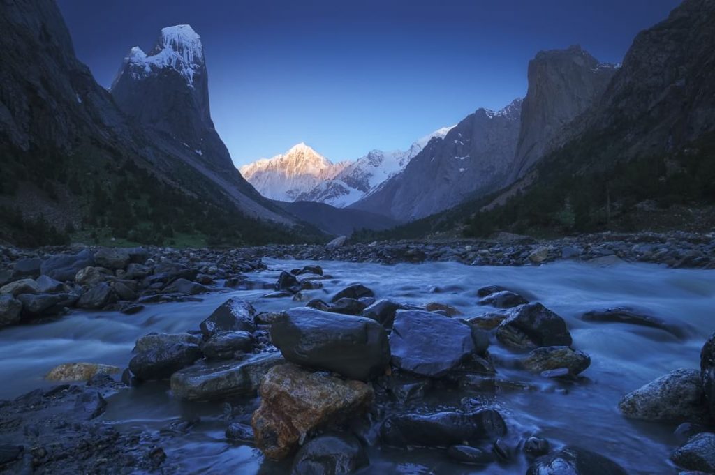
Keep walking and cross the river until you reach the previously described meadow with the shepherd’s hut. Set up camp here.
NOTE: The Karavshin Valley gets most of the attention but the next valley over on the eastside also features some impressive peaks. Feel free to explore it a bit in the morning if you like. Trails are a bit rough in places so be sure to keep your bearings.
Day 4-8: Return to Guesthouse via Ak-Tubek or Dahalgytshy Pass
At this point, the trail joins the classic route and the itinerary can go one of two ways: you can return either via Ak-Tubek Pass or Dahalgytshy Pass.
If the conditions of the trail are right and weather permits, I’d go via Ak-Tubek as it is without a doubt the more spectacular of the two options. Dahalgytshy Pass is less intense but the views are not as great compared to Ak-Tubek. We missed Ak-Tubek and Ak-Suu Peak the first time around, due to the former being snowed in, and were a bit gutted. Nonetheless, we still enjoyed our way out.
Book your Karavshin Valley adventure today
Ready to go beyond the guidebook and experience Kyrgyzstan’s last true frontier? Join us as we return to the Karavshin Valley—Asia’s Patagonia in all its rugged, surreal glory. This is your chance to stand beneath granite towers soaring 4,000 meters overhead, cross glacial rivers on horseback, and camp where almost no travelers have set foot.
Our fully supported expedition takes care of every detail, from permits to logistics, so you can focus on the adventure itself. Whether you’re a seasoned trekker or simply craving a raw, immersive wilderness experience, the Karavshin will leave you changed.
Spots are limited and this hidden gem won’t stay secret forever. Claim your place on the next departure and be among the few to witness one of the most epic landscapes on earth.

